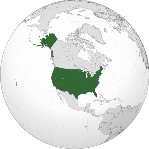
File:USA orthographic.svg
From All Skies Encyclopaedia

Size of this PNG preview of this SVG file: 551 × 551 pixels. Other resolutions: 240 × 240 pixels | 480 × 480 pixels | 768 × 768 pixels | 1,024 × 1,024 pixels | 2,048 × 2,048 pixels.
Original file (SVG file, nominally 551 × 551 pixels, file size: 890 KB)
Summary
| Description |
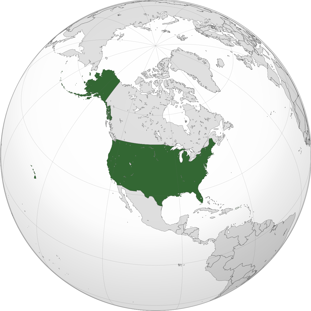
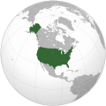
English: A map of the hemisphere centred on -100, 45, using an orthographic projection, created using gringer's Perl script with Natural Earth Data (1:50000 resolution, simplified to 0.25px). The United States (the contiguous United States, Alaska, and Hawaii; not including Puerto Rico and other territories that belong to, but are not a part of the United States) highlighted in green.
Official territory. |
| Date | |
| Source | Own work with Natural Earth Data |
| Author | Addicted04 |
| SVG development |


-
 Argentina
 -
 Asia
Asia -
 Australia
 -
 Brazil
 -
 Canada
 -
 Chile
Chile -
 European Union
 -
 East Asia
 -
 Europe
 -
 India
India -
 Indonesia
 -
 Iran
Iran -
 Japan
Japan -
 Malaysia
 -
 Mexico
 -
 Mongolia
 -
 North Korea
 -
 Paraguay
 -
 People's Republic of China
 -
 Philippines
 -
 Russia
 -
 South America
 -
 South Korea
 -
 Union of Soviet Socialist Republics
 -
 United States
.svg)
.svg)
.svg)
.svg)
.svg)
.svg)

.svg)
.svg)
.svg)
.svg)
.svg)
.svg)
.svg)
.svg)
.svg)
.svg)
.svg)
.svg)
.svg)
_-_Crimea_disputed.svg)
.svg)
.svg)
.svg)
.svg)
Licensing
I, the copyright holder of this work, hereby publish it under the following license:


This file is licensed under the Creative Commons Attribution-Share Alike 3.0 Unported license.
- You are free:
- to share – to copy, distribute and transmit the work
- to remix – to adapt the work
- Under the following conditions:
- attribution – You must give appropriate credit, provide a link to the license, and indicate if changes were made. You may do so in any reasonable manner, but not in any way that suggests the licensor endorses you or your use.
- share alike – If you remix, transform, or build upon the material, you must distribute your contributions under the same or compatible license as the original.
File history
Click on a date/time to view the file as it appeared at that time.
| Date/Time | Thumbnail | Dimensions | User | Comment | |
|---|---|---|---|---|---|
| current | 14:45, 13 July 2025 | | 551 × 551 (890 KB) | wikimediacommons>Bokmanrocks01 | Reverted to version as of 23:45, 10 September 2022 (UTC) Return to previous map, thinner more detailed borders |
File usage
The following page uses this file: