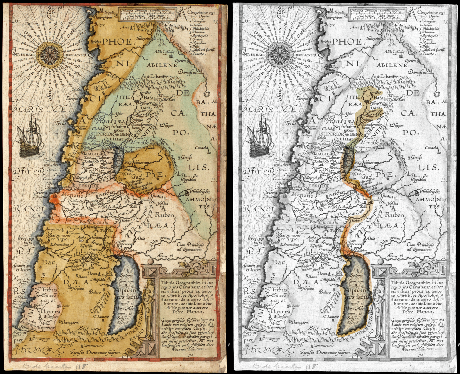
File:Plancius1590 BiblicalMaps an.gif
From All Skies Encyclopaedia
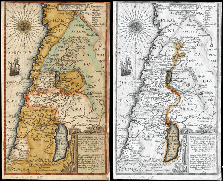
Size of this preview: 369 × 600 pixels. Other resolution: 2,197 × 3,570 pixels.
Original file (2,197 × 3,570 pixels, file size: 9.46 MB, MIME type: image/gif, looped, 2 frames, 3.0 s)
Summary
Plancius (1590): Biblical Maps, with modern highlighting of Jor-Dan.
Licensing


This work is licensed under the Creative Commons Attribution 4.0 License.
File history
Click on a date/time to view the file as it appeared at that time.
| Date/Time | Thumbnail | Dimensions | User | Comment | |
|---|---|---|---|---|---|
| current | 14:23, 17 August 2026 | | 2,197 × 3,570 (9.46 MB) | ASEtech (talk | contribs) | Plancius (1590): Biblical Maps, with modern highlighting of Jor-Dan. |
You cannot overwrite this file.